Fleet Street
Introduction
The photograph on this page of Fleet Street by Gerald England as part of the Geograph project.
The Geograph project started in 2005 with the aim of publishing, organising and preserving representative images for every square kilometre of Great Britain, Ireland and the Isle of Man.

There are currently over 7.5m images from over 14,400 individuals and you can help contribute to the project by visiting https://www.geograph.org.uk
Fleet Street
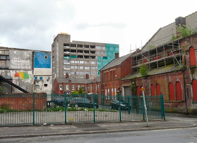
Image: © Gerald England Taken: 9 May 2014
On the left is the former Blues nightclub Image On the right is the former Wesleyan Methodist Sunday School Image Behind a group of terraced houses facing Booth Street is Oakglade House Image
Images are licensed for reuse under creativecommons.org/licenses/by-sa/2.0
Image Location


Leaflet Map data © OpenStreetMap
Latitude
53.486146
Longitude
-2.09626