Path out of Clinton Wood
Introduction
The photograph on this page of Path out of Clinton Wood by Marathon as part of the Geograph project.
The Geograph project started in 2005 with the aim of publishing, organising and preserving representative images for every square kilometre of Great Britain, Ireland and the Isle of Man.

There are currently over 7.5m images from over 14,400 individuals and you can help contribute to the project by visiting https://www.geograph.org.uk
Path out of Clinton Wood
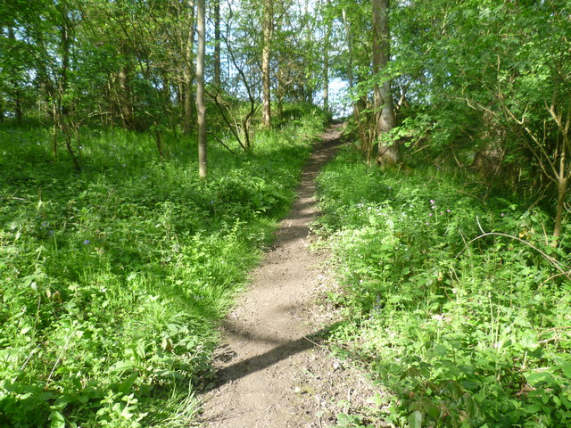
Image: © Marathon Taken: 3 May 2014
After crossing the stream seen at http://www.geograph.org.uk/photo/3970389 and passing through the Ramsons (or Wild garlic) the path heads uphill here and out of Clinton Wood.
Images are licensed for reuse under creativecommons.org/licenses/by-sa/2.0
Image Location
Latitude
51.208584
Longitude
0.11921