The Plough, Lower Road
Introduction
The photograph on this page of The Plough, Lower Road by John Baker as part of the Geograph project.
The Geograph project started in 2005 with the aim of publishing, organising and preserving representative images for every square kilometre of Great Britain, Ireland and the Isle of Man.

There are currently over 7.5m images from over 14,400 individuals and you can help contribute to the project by visiting https://www.geograph.org.uk
The Plough, Lower Road
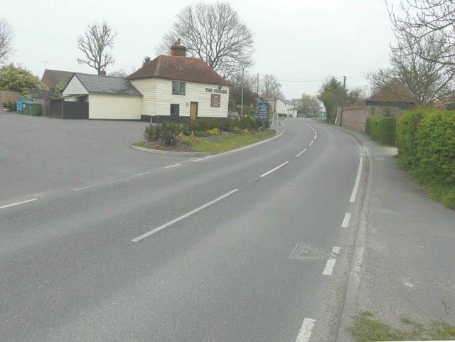
Image: © John Baker Taken: 2 Apr 2014
It is a grade II listed building which dates from the late 16th or early 17th centuries http://www.britishlistedbuildings.co.uk/en-420881-the-plough-public-house-peldon-essex
Images are licensed for reuse under creativecommons.org/licenses/by-sa/2.0
Image Location
Latitude
51.810617
Longitude
0.885517