The Knock River, Belfast - May 2014(1)
Introduction
The photograph on this page of The Knock River, Belfast - May 2014(1) by Albert Bridge as part of the Geograph project.
The Geograph project started in 2005 with the aim of publishing, organising and preserving representative images for every square kilometre of Great Britain, Ireland and the Isle of Man.

There are currently over 7.5m images from over 14,400 individuals and you can help contribute to the project by visiting https://www.geograph.org.uk
The Knock River, Belfast - May 2014(1)
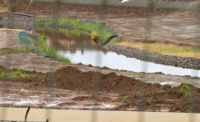
Image: © Albert Bridge Taken: 10 May 2014
The Knock River, in Orangefield Park, seen through the contractor’s safety fence. The new path is at the bottom. The banks are being planted.
Images are licensed for reuse under creativecommons.org/licenses/by-sa/2.0
Image Location
Latitude
54.588419
Longitude
-5.877767