Mynydd Ty-isaf
Introduction
The photograph on this page of Mynydd Ty-isaf by Ian Medcalf as part of the Geograph project.
The Geograph project started in 2005 with the aim of publishing, organising and preserving representative images for every square kilometre of Great Britain, Ireland and the Isle of Man.

There are currently over 7.5m images from over 14,400 individuals and you can help contribute to the project by visiting https://www.geograph.org.uk
Mynydd Ty-isaf
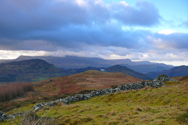
Image: © Ian Medcalf Taken: 11 Jan 2014
Golygfa dros Mynydd Ty-isaf i Foel Offrwm a Llyn Cynwch (smotyn bach yng nghanol y llun) gyda Cadair Idris yn y cymylau / A view over Mynydd Ty-isaf to Foel Offrwm and Llyn Cynwch (small speck in the centre of the photo) with Cadair Idris in the clouds.
Images are licensed for reuse under creativecommons.org/licenses/by-sa/2.0
Image Location
Latitude
52.792064
Longitude
-3.852661