Tollesbury War Memorial
Introduction
The photograph on this page of Tollesbury War Memorial by William Metcalfe as part of the Geograph project.
The Geograph project started in 2005 with the aim of publishing, organising and preserving representative images for every square kilometre of Great Britain, Ireland and the Isle of Man.

There are currently over 7.5m images from over 14,400 individuals and you can help contribute to the project by visiting https://www.geograph.org.uk
Tollesbury War Memorial
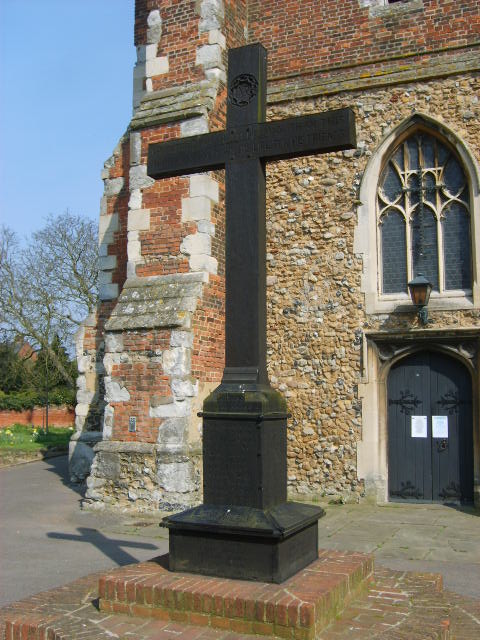
Image: © William Metcalfe Taken: 8 Apr 2007
Unusually, a wooden memorial, listing names of the fallen on all four sides. Situated in the churchyard on a brick base.
Images are licensed for reuse under creativecommons.org/licenses/by-sa/2.0
Image Location


Leaflet Map data © OpenStreetMap
Latitude
51.757649
Longitude
0.833588