Footpath to Bough Beech Sailing Club
Introduction
The photograph on this page of Footpath to Bough Beech Sailing Club by Marathon as part of the Geograph project.
The Geograph project started in 2005 with the aim of publishing, organising and preserving representative images for every square kilometre of Great Britain, Ireland and the Isle of Man.

There are currently over 7.5m images from over 14,400 individuals and you can help contribute to the project by visiting https://www.geograph.org.uk
Footpath to Bough Beech Sailing Club
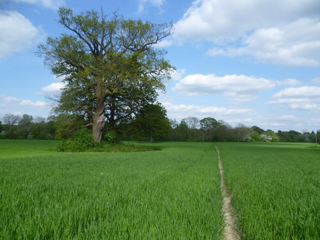
Image: © Marathon Taken: 3 May 2014
This footpath from the railway at Bough Beech continues around the south side of Bough Beech Reservoir by the dam before crossing the access road to Bough Beech Sailing Club.
Images are licensed for reuse under creativecommons.org/licenses/by-sa/2.0
Image Location
Latitude
51.20168
Longitude
0.132922