Path from Brynheulog to a hillside track, Perthcelyn
Introduction
The photograph on this page of Path from Brynheulog to a hillside track, Perthcelyn by Jaggery as part of the Geograph project.
The Geograph project started in 2005 with the aim of publishing, organising and preserving representative images for every square kilometre of Great Britain, Ireland and the Isle of Man.

There are currently over 7.5m images from over 14,400 individuals and you can help contribute to the project by visiting https://www.geograph.org.uk
Path from Brynheulog to a hillside track, Perthcelyn
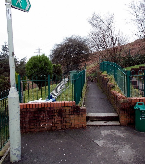
Image: © Jaggery Taken: 30 Jan 2014
The path connects the southern end of Brynheulog with this http://www.geograph.org.uk/photo/3969309 track.
Images are licensed for reuse under creativecommons.org/licenses/by-sa/2.0
Image Location
Latitude
51.667027
Longitude
-3.369111