Bessy Wood
Introduction
The photograph on this page of Bessy Wood by Ian Capper as part of the Geograph project.
The Geograph project started in 2005 with the aim of publishing, organising and preserving representative images for every square kilometre of Great Britain, Ireland and the Isle of Man.

There are currently over 7.5m images from over 14,400 individuals and you can help contribute to the project by visiting https://www.geograph.org.uk
Bessy Wood
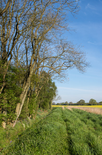
Image: © Ian Capper Taken: 3 May 2014
A block of woodland in an area of wide arable farming. The 1850 6 inch map shows it to have originally been named Bessy Rash, although by the time of the 1895 map it had acquired its current name.
Images are licensed for reuse under creativecommons.org/licenses/by-sa/2.0
Image Location
Latitude
53.966757
Longitude
-1.325958