Loch Leven Heritage Trail
Introduction
The photograph on this page of Loch Leven Heritage Trail by Richard Webb as part of the Geograph project.
The Geograph project started in 2005 with the aim of publishing, organising and preserving representative images for every square kilometre of Great Britain, Ireland and the Isle of Man.

There are currently over 7.5m images from over 14,400 individuals and you can help contribute to the project by visiting https://www.geograph.org.uk
Loch Leven Heritage Trail
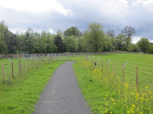
Image: © Richard Webb Taken: 9 May 2014
Now finally complete with this section between Vane Farm and Kinross. It is obvious that there was an almighty struggle to get the path through this section - just check out the industrial scale barbed wire surrounding the path. Deeply unpleasant corridor stuff, but it will mellow with age as the new hedges and woodlands take over the wildlife protection role.
Images are licensed for reuse under creativecommons.org/licenses/by-sa/2.0
Image Location
Latitude
56.172414
Longitude
-3.372996