Hawstead school house
Introduction
The photograph on this page of Hawstead school house by Bikeboy as part of the Geograph project.
The Geograph project started in 2005 with the aim of publishing, organising and preserving representative images for every square kilometre of Great Britain, Ireland and the Isle of Man.

There are currently over 7.5m images from over 14,400 individuals and you can help contribute to the project by visiting https://www.geograph.org.uk
Hawstead school house
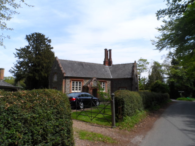
Image: © Bikeboy Taken: 4 May 2014
Now a private dwelling. There is a date stone on the gable end to the right inscribed "Halstead School T.G.C. & A.C. 1849".
Images are licensed for reuse under creativecommons.org/licenses/by-sa/2.0
Image Location
Latitude
52.198052
Longitude
0.719131