Ceres Burn in Dura Den
Introduction
The photograph on this page of Ceres Burn in Dura Den by James Allan as part of the Geograph project.
The Geograph project started in 2005 with the aim of publishing, organising and preserving representative images for every square kilometre of Great Britain, Ireland and the Isle of Man.

There are currently over 7.5m images from over 14,400 individuals and you can help contribute to the project by visiting https://www.geograph.org.uk
Ceres Burn in Dura Den
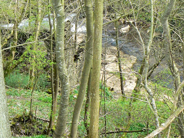
Image: © James Allan Taken: 9 Apr 2007
The stone wall is part of an abandoned watermill that has fallen into a ruinous state.
Images are licensed for reuse under creativecommons.org/licenses/by-sa/2.0
Image Location


Leaflet Map data © OpenStreetMap
Latitude
56.311387
Longitude
-2.94395