Mount Pleasant Street, Trecynon
Introduction
The photograph on this page of Mount Pleasant Street, Trecynon by Jaggery as part of the Geograph project.
The Geograph project started in 2005 with the aim of publishing, organising and preserving representative images for every square kilometre of Great Britain, Ireland and the Isle of Man.

There are currently over 7.5m images from over 14,400 individuals and you can help contribute to the project by visiting https://www.geograph.org.uk
Mount Pleasant Street, Trecynon
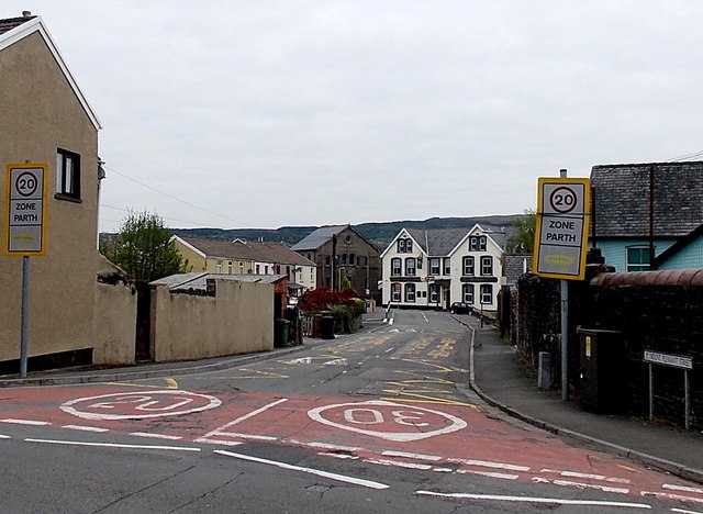
Image: © Jaggery Taken: 3 May 2014
Viewed across the B4275 Hirwaun Road looking towards the Mount Pleasant Hotel. http://www.geograph.org.uk/photo/3967534 A 20mph maximum speed zone is in force past the west side of Aberdare Park Primary School. http://www.geograph.org.uk/photo/3967675
Images are licensed for reuse under creativecommons.org/licenses/by-sa/2.0
Image Location
Latitude
51.720923
Longitude
-3.455865