The Village redevelopment, Belfast (May 2014)
Introduction
The photograph on this page of The Village redevelopment, Belfast (May 2014) by Albert Bridge as part of the Geograph project.
The Geograph project started in 2005 with the aim of publishing, organising and preserving representative images for every square kilometre of Great Britain, Ireland and the Isle of Man.

There are currently over 7.5m images from over 14,400 individuals and you can help contribute to the project by visiting https://www.geograph.org.uk
The Village redevelopment, Belfast (May 2014)
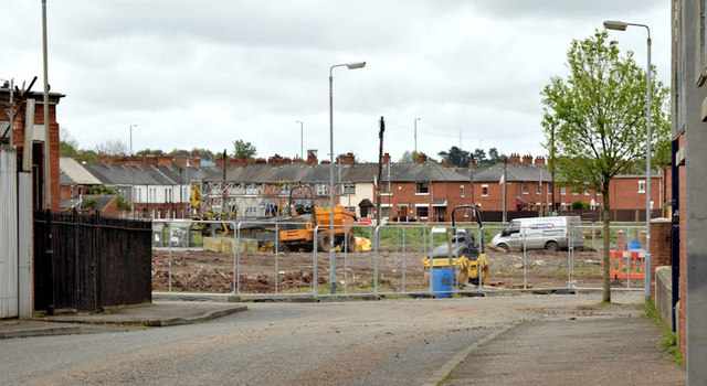
Image: © Albert Bridge Taken: 8 May 2014
The site, close to Broadway and Moltke Street, seen along Nubia Street. There is a crane (middle left) awaiting assembly.
Images are licensed for reuse under creativecommons.org/licenses/by-sa/2.0
Image Location
Latitude
54.587379
Longitude
-5.95301