Parsonage Meadow
Introduction
The photograph on this page of Parsonage Meadow by Alan Hunt as part of the Geograph project.
The Geograph project started in 2005 with the aim of publishing, organising and preserving representative images for every square kilometre of Great Britain, Ireland and the Isle of Man.

There are currently over 7.5m images from over 14,400 individuals and you can help contribute to the project by visiting https://www.geograph.org.uk
Parsonage Meadow
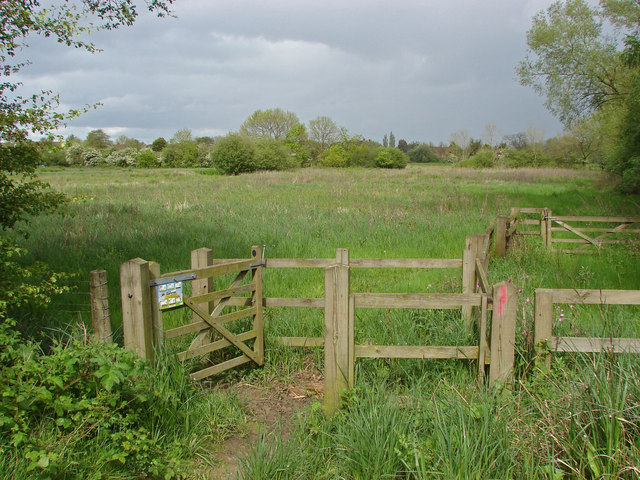
Image: © Alan Hunt Taken: 7 May 2014
The entrance to Parsonage Meadow off the River Wey towpath. These old watermeadows are still used to soak up the excess water from the River Wey.
Images are licensed for reuse under creativecommons.org/licenses/by-sa/2.0
Image Location
Latitude
51.249581
Longitude
-0.582329