A4058 crosses the Rhondda River, Pontypridd
Introduction
The photograph on this page of A4058 crosses the Rhondda River, Pontypridd by Jaggery as part of the Geograph project.
The Geograph project started in 2005 with the aim of publishing, organising and preserving representative images for every square kilometre of Great Britain, Ireland and the Isle of Man.

There are currently over 7.5m images from over 14,400 individuals and you can help contribute to the project by visiting https://www.geograph.org.uk
A4058 crosses the Rhondda River, Pontypridd
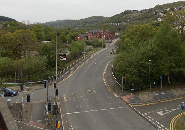
Image: © Jaggery Taken: 3 May 2014
Viewed from the edge of Sardis Road car park. Trees line the river bank on both sides of the bridge. The Rhondda here is less than 400 metres from its confluence with the River Taff.
Images are licensed for reuse under creativecommons.org/licenses/by-sa/2.0
Image Location
Latitude
51.601213
Longitude
-3.345183