Stonebridge Farm
Introduction
The photograph on this page of Stonebridge Farm by Bikeboy as part of the Geograph project.
The Geograph project started in 2005 with the aim of publishing, organising and preserving representative images for every square kilometre of Great Britain, Ireland and the Isle of Man.

There are currently over 7.5m images from over 14,400 individuals and you can help contribute to the project by visiting https://www.geograph.org.uk
Stonebridge Farm
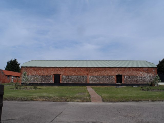
Image: © Bikeboy Taken: 4 May 2014
The brickwork of this barn is very unusual. It is reminiscent of "herringbone" usually associated with Saxon era buildings.
Images are licensed for reuse under creativecommons.org/licenses/by-sa/2.0
Image Location
Latitude
52.094051
Longitude
0.49759