Lane to Parkside Farm, Lydiard Millicent
Introduction
The photograph on this page of Lane to Parkside Farm, Lydiard Millicent by Vieve Forward as part of the Geograph project.
The Geograph project started in 2005 with the aim of publishing, organising and preserving representative images for every square kilometre of Great Britain, Ireland and the Isle of Man.

There are currently over 7.5m images from over 14,400 individuals and you can help contribute to the project by visiting https://www.geograph.org.uk
Lane to Parkside Farm, Lydiard Millicent
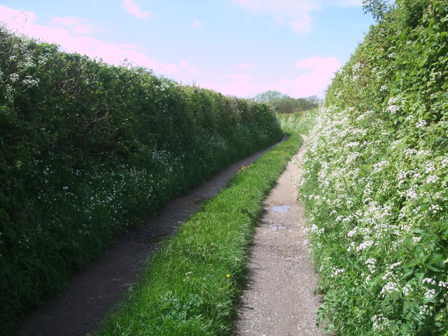
Image: © Vieve Forward Taken: 7 May 2014
The lane to Parkside Farm. The cow parsley is in full bloom in the verges.
Images are licensed for reuse under creativecommons.org/licenses/by-sa/2.0
Image Location
Latitude
51.567302
Longitude
-1.861016