Eastern Avenue Trading Estate unit location board, Gloucester
Introduction
The photograph on this page of Eastern Avenue Trading Estate unit location board, Gloucester by Jaggery as part of the Geograph project.
The Geograph project started in 2005 with the aim of publishing, organising and preserving representative images for every square kilometre of Great Britain, Ireland and the Isle of Man.

There are currently over 7.5m images from over 14,400 individuals and you can help contribute to the project by visiting https://www.geograph.org.uk
Eastern Avenue Trading Estate unit location board, Gloucester
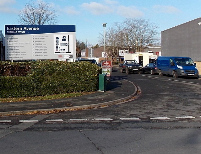
Image: © Jaggery Taken: 22 Nov 2013
Located on the corner of Chase Lane and Eastville Close, alongside the A38 Eastern Avenue, the board shows the location of 27 units and their occupiers.
Images are licensed for reuse under creativecommons.org/licenses/by-sa/2.0
Image Location
Latitude
51.857048
Longitude
-2.221817