Sign marking site of Roman Fort wall
Introduction
The photograph on this page of Sign marking site of Roman Fort wall by Pauline E as part of the Geograph project.
The Geograph project started in 2005 with the aim of publishing, organising and preserving representative images for every square kilometre of Great Britain, Ireland and the Isle of Man.

There are currently over 7.5m images from over 14,400 individuals and you can help contribute to the project by visiting https://www.geograph.org.uk
Sign marking site of Roman Fort wall
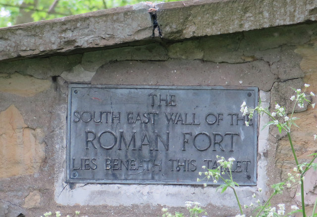
Image: © Pauline E Taken: 4 May 2014
Orchard Field, supposed site of the Roman Fort, Derventio. See also Image
Images are licensed for reuse under creativecommons.org/licenses/by-sa/2.0
Image Location
Latitude
54.134792
Longitude
-0.790409