Some aspects of Blandford's architecture: 26 East Street
Introduction
The photograph on this page of Some aspects of Blandford's architecture: 26 East Street by Mike Searle as part of the Geograph project.
The Geograph project started in 2005 with the aim of publishing, organising and preserving representative images for every square kilometre of Great Britain, Ireland and the Isle of Man.

There are currently over 7.5m images from over 14,400 individuals and you can help contribute to the project by visiting https://www.geograph.org.uk
Some aspects of Blandford's architecture: 26 East Street
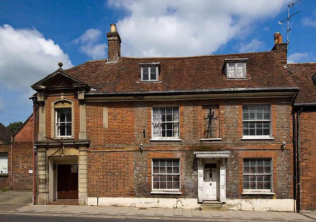
Image: © Mike Searle Taken: 4 May 2014
Early C18. The west end of the frontage has been altered to accommodate part of the old East Street Gospel Hall. Listed Grade II. East Street contains most of the town's pre-fire buildings. https://historicengland.org.uk/listing/the-list/list-entry/1152641
Images are licensed for reuse under creativecommons.org/licenses/by-sa/2.0
Image Location


Leaflet Map data © OpenStreetMap
Latitude
50.856731
Longitude
-2.161625