Path, Penstave Copse
Introduction
The photograph on this page of Path, Penstave Copse by Derek Harper as part of the Geograph project.
The Geograph project started in 2005 with the aim of publishing, organising and preserving representative images for every square kilometre of Great Britain, Ireland and the Isle of Man.

There are currently over 7.5m images from over 14,400 individuals and you can help contribute to the project by visiting https://www.geograph.org.uk
Path, Penstave Copse
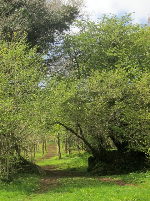
Image: © Derek Harper Taken: 4 May 2014
Leaving the glade shown in Image] and heading towards the top of the wood. The Management Plan for Penstave Copse is at http://www.woodlandtrust.org.uk/woodfile/650/management-plan.pdf?cb=adbb52cbbc894ba69571c2d16769287c .
Images are licensed for reuse under creativecommons.org/licenses/by-sa/2.0
Image Location
Latitude
50.435677
Longitude
-3.843164