The Round House, Canterbury
Introduction
The photograph on this page of The Round House, Canterbury by Chris Whippet as part of the Geograph project.
The Geograph project started in 2005 with the aim of publishing, organising and preserving representative images for every square kilometre of Great Britain, Ireland and the Isle of Man.

There are currently over 7.5m images from over 14,400 individuals and you can help contribute to the project by visiting https://www.geograph.org.uk
The Round House, Canterbury
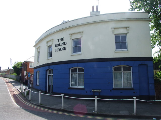
Image: © Chris Whippet Taken: 5 May 2014
Former pub now used as student accommodation.
Images are licensed for reuse under creativecommons.org/licenses/by-sa/2.0
Image Location
Latitude
51.274713
Longitude
1.074349