Former station at South Brent
Introduction
The photograph on this page of Former station at South Brent by Derek Harper as part of the Geograph project.
The Geograph project started in 2005 with the aim of publishing, organising and preserving representative images for every square kilometre of Great Britain, Ireland and the Isle of Man.

There are currently over 7.5m images from over 14,400 individuals and you can help contribute to the project by visiting https://www.geograph.org.uk
Former station at South Brent
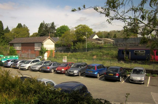
Image: © Derek Harper Taken: 4 May 2014
A multiple unit heads for Ivybridge and Plymouth as it passes the old signal box. In front is the town car park. In the background is housing on Brookswood Close.
Images are licensed for reuse under creativecommons.org/licenses/by-sa/2.0
Image Location
Latitude
50.427817
Longitude
-3.833989