The Millmount Road, Dundonald - May 2014(1)
Introduction
The photograph on this page of The Millmount Road, Dundonald - May 2014(1) by Albert Bridge as part of the Geograph project.
The Geograph project started in 2005 with the aim of publishing, organising and preserving representative images for every square kilometre of Great Britain, Ireland and the Isle of Man.

There are currently over 7.5m images from over 14,400 individuals and you can help contribute to the project by visiting https://www.geograph.org.uk
The Millmount Road, Dundonald - May 2014(1)
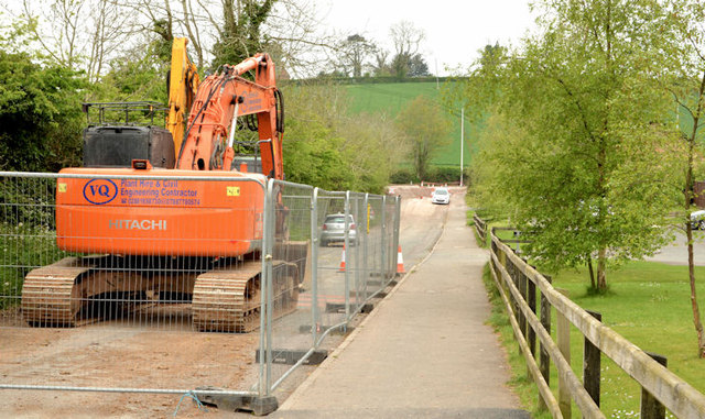
Image: © Albert Bridge Taken: 5 May 2014
The Millmount Road Image (January 2009) is now the old line of the Millmount Road, stopped up at the Comber Road end, and used as an access from the new line (behind the hedge on the left) to Millmount Chase (out of picture to the right).
Images are licensed for reuse under creativecommons.org/licenses/by-sa/2.0
Image Location
Latitude
54.582137
Longitude
-5.792859