Hop Garden Field
Introduction
The photograph on this page of Hop Garden Field by Simon Carey as part of the Geograph project.
The Geograph project started in 2005 with the aim of publishing, organising and preserving representative images for every square kilometre of Great Britain, Ireland and the Isle of Man.

There are currently over 7.5m images from over 14,400 individuals and you can help contribute to the project by visiting https://www.geograph.org.uk
Hop Garden Field
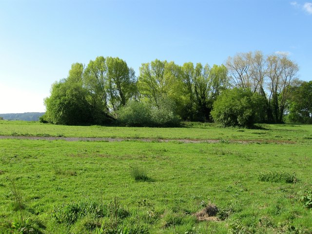
Image: © Simon Carey Taken: 3 May 2014
The name of the field according to Albourne's 1839 tithe map which for many years was home to Hazelden's Nursery which has now gone leaving just the concrete standing as a reminder.
Images are licensed for reuse under creativecommons.org/licenses/by-sa/2.0
Image Location
Latitude
50.932019
Longitude
-0.201361