Dean Mead
Introduction
The photograph on this page of Dean Mead by Simon Carey as part of the Geograph project.
The Geograph project started in 2005 with the aim of publishing, organising and preserving representative images for every square kilometre of Great Britain, Ireland and the Isle of Man.

There are currently over 7.5m images from over 14,400 individuals and you can help contribute to the project by visiting https://www.geograph.org.uk
Dean Mead
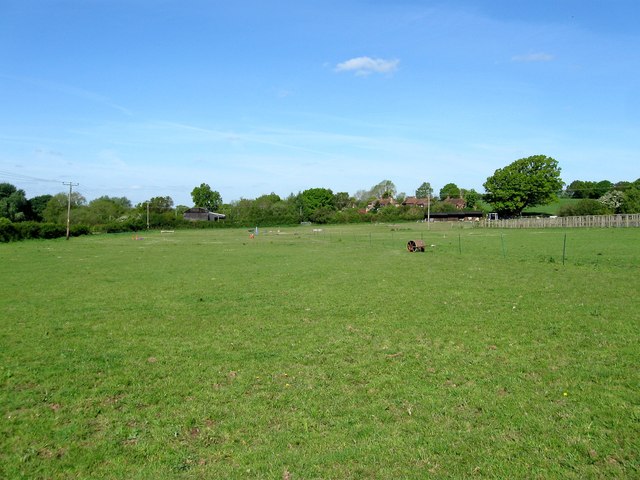
Image: © Simon Carey Taken: 3 May 2014
The name of the field according to Albourne's 1839 tithe map that lies to the north of Image and to the immediate south of Image During the 1950s the field was used as the village's cricket ground until the club merged with neighbouring Sayers Common and moved there. Wellcroft Cottages can be seen in the distance.
Images are licensed for reuse under creativecommons.org/licenses/by-sa/2.0
Image Location
Latitude
50.932972
Longitude
-0.204882