Singing Hills Golf Course
Introduction
The photograph on this page of Singing Hills Golf Course by Simon Carey as part of the Geograph project.
The Geograph project started in 2005 with the aim of publishing, organising and preserving representative images for every square kilometre of Great Britain, Ireland and the Isle of Man.

There are currently over 7.5m images from over 14,400 individuals and you can help contribute to the project by visiting https://www.geograph.org.uk
Singing Hills Golf Course
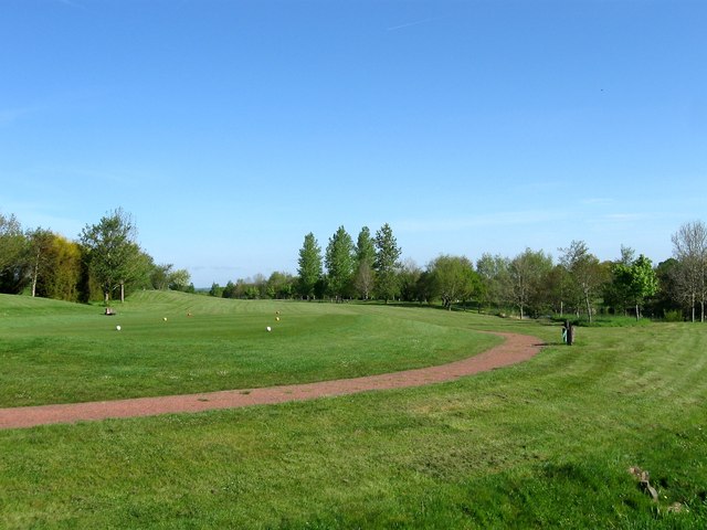
Image: © Simon Carey Taken: 3 May 2014
The course was laid out during the 1990s on farmland once belonging to Jammeson Farm. This part of the course was once a field known as Coldharbour Field according to Albourne's 1839 tithe map. Coldharbour being the name of the farm prior to the 1970s and also an indication that a Roman road lies nearby.
Images are licensed for reuse under creativecommons.org/licenses/by-sa/2.0
Image Location
Latitude
50.921845
Longitude
-0.206448