Road and Rail at Cornbrook
Introduction
The photograph on this page of Road and Rail at Cornbrook by Gerald England as part of the Geograph project.
The Geograph project started in 2005 with the aim of publishing, organising and preserving representative images for every square kilometre of Great Britain, Ireland and the Isle of Man.

There are currently over 7.5m images from over 14,400 individuals and you can help contribute to the project by visiting https://www.geograph.org.uk
Road and Rail at Cornbrook
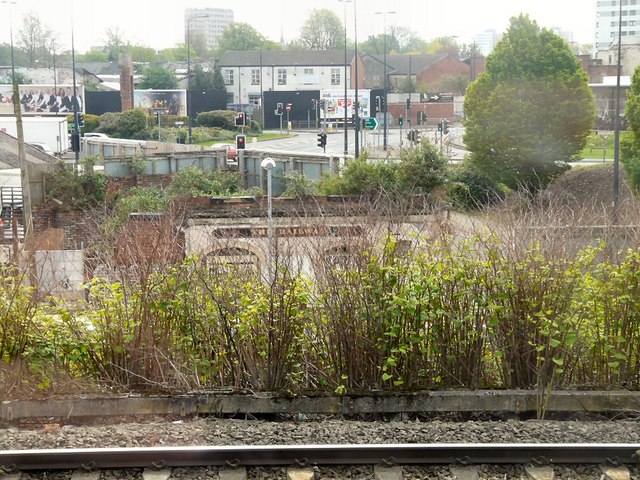
Image: © Gerald England Taken: 28 Apr 2014
Below Cornbrook tram stop is a derelict pub "The Railway". In the background is the junction Bridgwater Way, the A56 and Chester Road, the A5014.
Images are licensed for reuse under creativecommons.org/licenses/by-sa/2.0
Image Location
Latitude
53.469438
Longitude
-2.266599