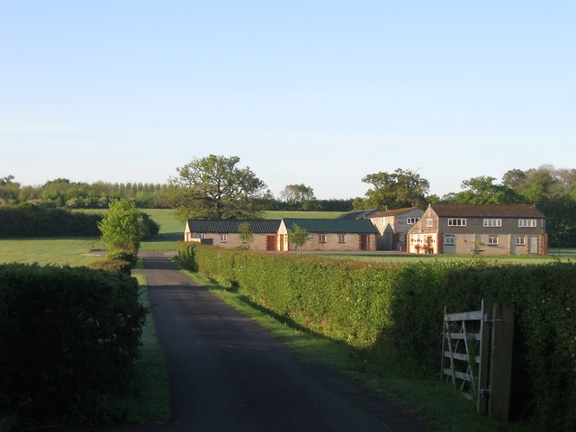
High Cross Farm
Introduction
The photograph on this page of High Cross Farm by Simon Carey as part of the Geograph project.
The Geograph project started in 2005 with the aim of publishing, organising and preserving representative images for every square kilometre of Great Britain, Ireland and the Isle of Man.
There are currently over 7.5m images from over 14,400 individuals and you can help contribute to the project by visiting https://www.geograph.org.uk

Image: © Simon Carey Taken: 3 May 2014
Originally known as Garden Lands Farm until the Second World War when it gained its current designation though judging by maps the farm seemed to have shrunk to one or two outbuildings. Since then it has grown and is now contains business units. the original farmhouse lay to the east and is now a house called Priestfield Farm.

