Level Crossing signage, Harrow Lane Furze Platt
Introduction
The photograph on this page of Level Crossing signage, Harrow Lane Furze Platt by SK53 as part of the Geograph project.
The Geograph project started in 2005 with the aim of publishing, organising and preserving representative images for every square kilometre of Great Britain, Ireland and the Isle of Man.

There are currently over 7.5m images from over 14,400 individuals and you can help contribute to the project by visiting https://www.geograph.org.uk
Level Crossing signage, Harrow Lane Furze Platt
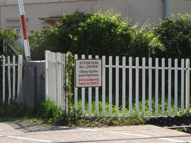
Image: © SK53 Taken: 16 Apr 2014
Another sign, demonstrating why the earlier Level Crossing signs are obviously needed.
Images are licensed for reuse under creativecommons.org/licenses/by-sa/2.0
Image Location
Latitude
51.532625
Longitude
-0.728686