Dee Locks Branch, Chester
Introduction
The photograph on this page of Dee Locks Branch, Chester by Martin Clark as part of the Geograph project.
The Geograph project started in 2005 with the aim of publishing, organising and preserving representative images for every square kilometre of Great Britain, Ireland and the Isle of Man.

There are currently over 7.5m images from over 14,400 individuals and you can help contribute to the project by visiting https://www.geograph.org.uk
Dee Locks Branch, Chester
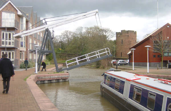
Image: © Martin Clark Taken: Unknown
The Dee Locks Branch is a short canal branch connecting the main line of the Shropshire Union Canal with the tidal River Dee at Chester. The locks are open by prior arrangement for boats needing to access the river.
Images are licensed for reuse under creativecommons.org/licenses/by-sa/2.0
Image Location


Leaflet Map data © OpenStreetMap
Latitude
53.192129
Longitude
-2.906965