Clapper Bridge, Penpont Water, Bowithick
Introduction
The photograph on this page of Clapper Bridge, Penpont Water, Bowithick by Jo and Steve Turner as part of the Geograph project.
The Geograph project started in 2005 with the aim of publishing, organising and preserving representative images for every square kilometre of Great Britain, Ireland and the Isle of Man.

There are currently over 7.5m images from over 14,400 individuals and you can help contribute to the project by visiting https://www.geograph.org.uk
Clapper Bridge, Penpont Water, Bowithick
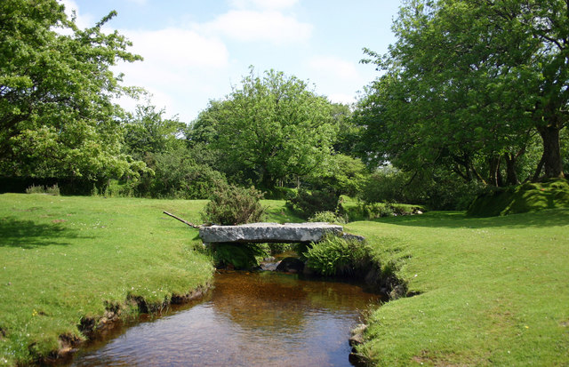
Image: © Jo and Steve Turner Taken: 18 Jun 2005
Around early 19th century the bridge is Grade II Listed.
Images are licensed for reuse under creativecommons.org/licenses/by-sa/2.0
Image Location
Latitude
50.615999
Longitude
-4.569611