St Mary's Street meets the A39
Introduction
The photograph on this page of St Mary's Street meets the A39 by Derek Harper as part of the Geograph project.
The Geograph project started in 2005 with the aim of publishing, organising and preserving representative images for every square kilometre of Great Britain, Ireland and the Isle of Man.

There are currently over 7.5m images from over 14,400 individuals and you can help contribute to the project by visiting https://www.geograph.org.uk
St Mary's Street meets the A39
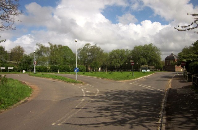
Image: © Derek Harper Taken: 26 Apr 2014
The junction at the east end of Nether Stowey, also seen in Image On the right is Image http://list.english-heritage.org.uk/resultsingle.aspx?uid=1264119&searchtype=mapsearch .
Images are licensed for reuse under creativecommons.org/licenses/by-sa/2.0
Image Location


Leaflet Map data © OpenStreetMap
Latitude
51.150334
Longitude
-3.152449