Beverley Road, Kingston upon Hull
Introduction
The photograph on this page of Beverley Road, Kingston upon Hull by Bernard Sharp as part of the Geograph project.
The Geograph project started in 2005 with the aim of publishing, organising and preserving representative images for every square kilometre of Great Britain, Ireland and the Isle of Man.

There are currently over 7.5m images from over 14,400 individuals and you can help contribute to the project by visiting https://www.geograph.org.uk
Beverley Road, Kingston upon Hull
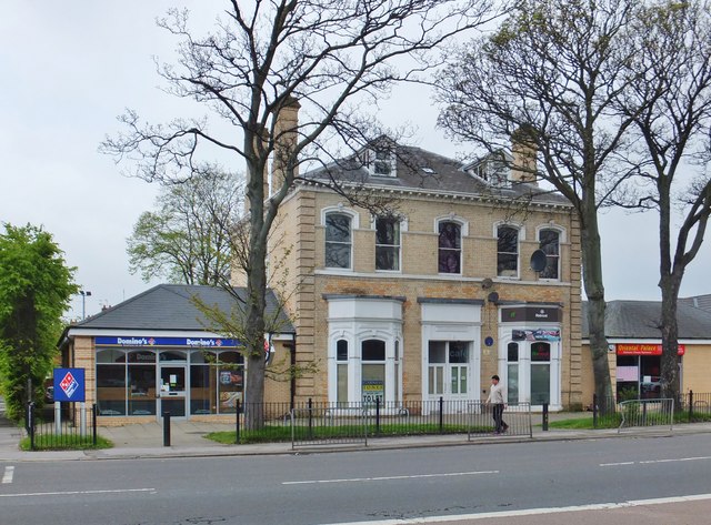
Image: © Bernard Sharp Taken: 28 Apr 2014
At the junction with Beech Grove, Newland House, No.439 Beverley Road, built by 1892, originally a house, now units 2 and 3 of a 5-unit retail development. See also: Image
Images are licensed for reuse under creativecommons.org/licenses/by-sa/2.0
Image Location
Latitude
53.767548
Longitude
-0.354167