Cardinal points of the compass on a children's playground, Nant-y-Bwch
Introduction
The photograph on this page of Cardinal points of the compass on a children's playground, Nant-y-Bwch by Jaggery as part of the Geograph project.
The Geograph project started in 2005 with the aim of publishing, organising and preserving representative images for every square kilometre of Great Britain, Ireland and the Isle of Man.

There are currently over 7.5m images from over 14,400 individuals and you can help contribute to the project by visiting https://www.geograph.org.uk
Cardinal points of the compass on a children's playground, Nant-y-Bwch
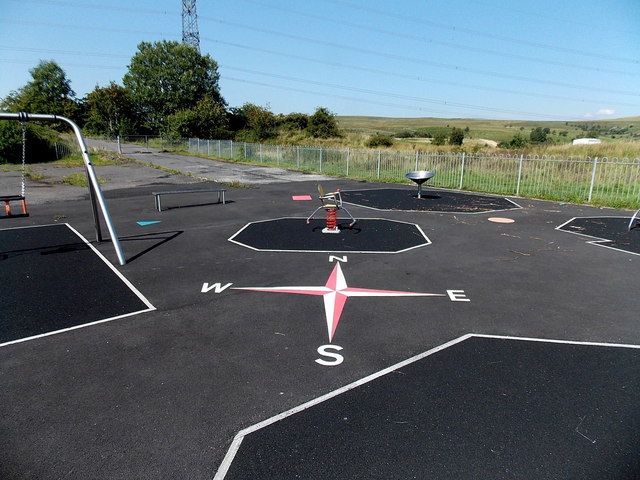
Image: © Jaggery Taken: 22 Aug 2013
The playground is set back 50 metres from Trefil Road. My Garmin confirmed that the compass points on the ground are correctly positioned, so it was easy to know the direction of view when submitting this photo. I wondered what children's game makes use of the cardinal points...
Images are licensed for reuse under creativecommons.org/licenses/by-sa/2.0
Image Location


Leaflet Map data © OpenStreetMap
Latitude
51.792379
Longitude
-3.26401