Green Lane near Bagby
Introduction
The photograph on this page of Green Lane near Bagby by Gordon Hatton as part of the Geograph project.
The Geograph project started in 2005 with the aim of publishing, organising and preserving representative images for every square kilometre of Great Britain, Ireland and the Isle of Man.

There are currently over 7.5m images from over 14,400 individuals and you can help contribute to the project by visiting https://www.geograph.org.uk
Green Lane near Bagby
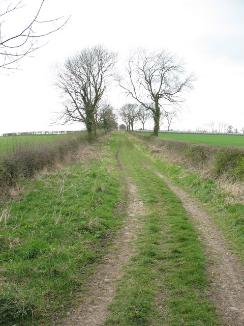
Image: © Gordon Hatton Taken: 10 Apr 2007
This track is known as 'Green Lane' and is just within the parish of Thirsk. A public bridleway follows its course.
Images are licensed for reuse under creativecommons.org/licenses/by-sa/2.0
Image Location


Leaflet Map data © OpenStreetMap
Latitude
54.226455
Longitude
-1.298835