North Down Coastal Path
Introduction
The photograph on this page of North Down Coastal Path by Robert Ashby as part of the Geograph project.
The Geograph project started in 2005 with the aim of publishing, organising and preserving representative images for every square kilometre of Great Britain, Ireland and the Isle of Man.

There are currently over 7.5m images from over 14,400 individuals and you can help contribute to the project by visiting https://www.geograph.org.uk
North Down Coastal Path
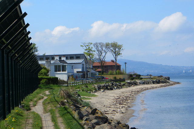
Image: © Robert Ashby Taken: 30 Apr 2014
The North Down Coastal Path near Craigavad. The no-nonsense fencing to the left is not, despite appearances, the perimeter of a p.o.w. camp, merely the boundary of the Royal Belfast Golf Club, the oldest in Ireland and founded in 1881.
Images are licensed for reuse under creativecommons.org/licenses/by-sa/2.0
Image Location
Latitude
54.66115
Longitude
-5.79462