Church Lane former level crossing
Introduction
The photograph on this page of Church Lane former level crossing by John Winder as part of the Geograph project.
The Geograph project started in 2005 with the aim of publishing, organising and preserving representative images for every square kilometre of Great Britain, Ireland and the Isle of Man.

There are currently over 7.5m images from over 14,400 individuals and you can help contribute to the project by visiting https://www.geograph.org.uk
Church Lane former level crossing
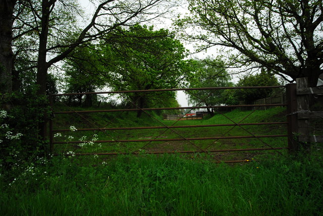
Image: © John Winder Taken: 2 May 2014
This is a shot along the route of the old railway line from Hereford to Grange Court Junction on the main Gloucester - Cardiff route. I'm standing (well, sitting ... I took this from my car) on the site of the old level crossing, looking towards Gloucester. There's not much left to show that this was once a railway line, although the eagle eyed among you will spot the remains of the railway fencing to the left of the shot.
Images are licensed for reuse under creativecommons.org/licenses/by-sa/2.0
Image Location
Latitude
51.841085
Longitude
-2.407964