Cotgrave C of E Primary School
Introduction
The photograph on this page of Cotgrave C of E Primary School by Alan Murray-Rust as part of the Geograph project.
The Geograph project started in 2005 with the aim of publishing, organising and preserving representative images for every square kilometre of Great Britain, Ireland and the Isle of Man.

There are currently over 7.5m images from over 14,400 individuals and you can help contribute to the project by visiting https://www.geograph.org.uk
Cotgrave C of E Primary School
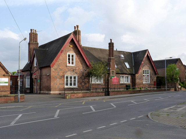
Image: © Alan Murray-Rust Taken: 27 Apr 2014
The school still occupies the original 1863 building. The stone panel in the central chimney carries a coroneted M, representing the local landowners, the Earls Manvers.
Images are licensed for reuse under creativecommons.org/licenses/by-sa/2.0
Image Location
Latitude
52.911631
Longitude
-1.043059