View from the London LOOP
Introduction
The photograph on this page of View from the London LOOP by Marathon as part of the Geograph project.
The Geograph project started in 2005 with the aim of publishing, organising and preserving representative images for every square kilometre of Great Britain, Ireland and the Isle of Man.

There are currently over 7.5m images from over 14,400 individuals and you can help contribute to the project by visiting https://www.geograph.org.uk
View from the London LOOP
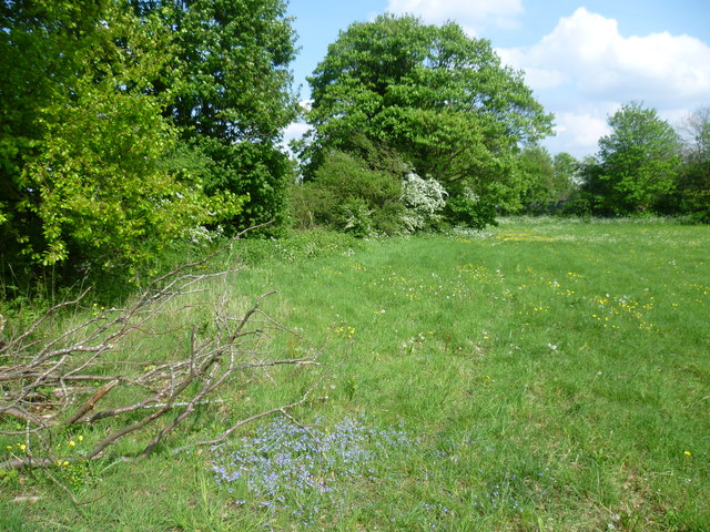
Image: © Marathon Taken: 30 Apr 2014
The London LOOP here is on its way from Grove Lane to The Oaks Park. It has just passed along Carshalton Road, and Mayfield Lavender Fields are on the other side of the treeline on the left.
Images are licensed for reuse under creativecommons.org/licenses/by-sa/2.0
Image Location
Latitude
51.331994
Longitude
-0.170249