Road Bridge and Railway Bridge on Salterland Road north-east of Barrhead
Introduction
The photograph on this page of Road Bridge and Railway Bridge on Salterland Road north-east of Barrhead by G Laird as part of the Geograph project.
The Geograph project started in 2005 with the aim of publishing, organising and preserving representative images for every square kilometre of Great Britain, Ireland and the Isle of Man.

There are currently over 7.5m images from over 14,400 individuals and you can help contribute to the project by visiting https://www.geograph.org.uk
Road Bridge and Railway Bridge on Salterland Road north-east of Barrhead
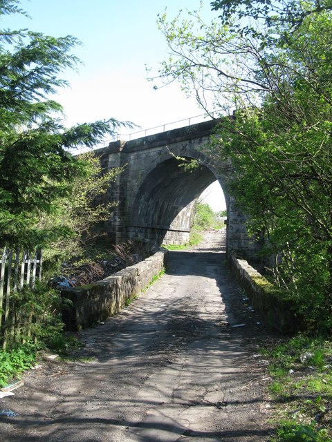
Image: © G Laird Taken: 29 Apr 2014
Salterland Road crosses the Levern Water at this point, though on the day of my visit, you couldn't travel much further. The road was being used as a dump not far past the railway bridge. The railway bridge carries a section of the Glasgow South Western Line between Barrhead and Nitshill railway stations.
Images are licensed for reuse under creativecommons.org/licenses/by-sa/2.0
Image Location
Latitude
55.81245
Longitude
-4.375153