Poultry frontages
Introduction
The photograph on this page of Poultry frontages by John Sutton as part of the Geograph project.
The Geograph project started in 2005 with the aim of publishing, organising and preserving representative images for every square kilometre of Great Britain, Ireland and the Isle of Man.

There are currently over 7.5m images from over 14,400 individuals and you can help contribute to the project by visiting https://www.geograph.org.uk
Poultry frontages
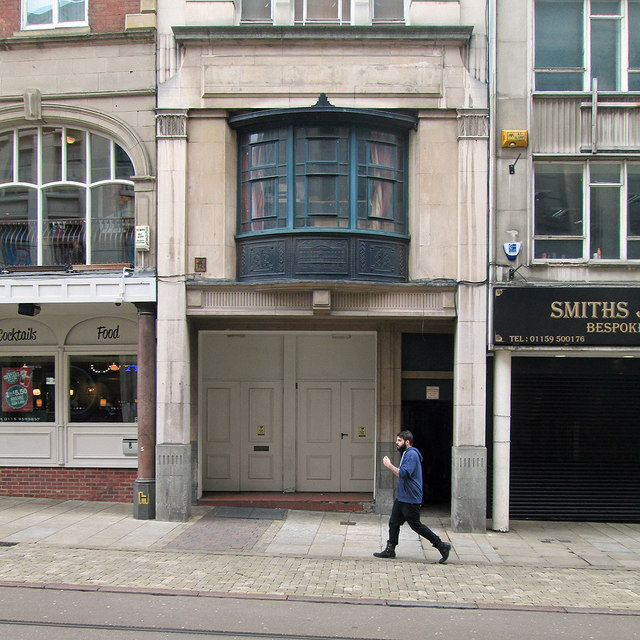
Image: © John Sutton Taken: 29 Apr 2014
Some of the varied facades on the south side of Poultry, opposite Exchange Arcade. The bow oriel in the centre has an image of the Nottingham Exchange, built 1724-6 and demolished in 1926 to make way for the Council House and arcade. (The Exchange shows more clearly in the larger version of this image.)
Images are licensed for reuse under creativecommons.org/licenses/by-sa/2.0
Image Location
Latitude
52.953063
Longitude
-1.148124