New roundabout in Hoveton
Introduction
The photograph on this page of New roundabout in Hoveton by Evelyn Simak as part of the Geograph project.
The Geograph project started in 2005 with the aim of publishing, organising and preserving representative images for every square kilometre of Great Britain, Ireland and the Isle of Man.

There are currently over 7.5m images from over 14,400 individuals and you can help contribute to the project by visiting https://www.geograph.org.uk
New roundabout in Hoveton
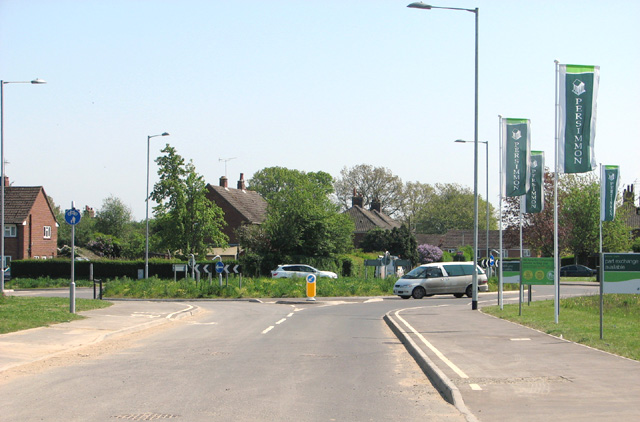
Image: © Evelyn Simak Taken: 30 Apr 2014
The roundabout was built in conjunction with an expansive new housing development which covers the former agricultural land to the west of the A1151 road > http://www.geograph.org.uk/photo/2880160. A great number of houses have already been built and many of these are now occupied but construction work is still ongoing > http://www.geograph.org.uk/photo/3956415 - http://www.geograph.org.uk/photo/3956420. Neither the roundabout nor the houses are marked on current maps nor can they to date be seen in aerial views.
Images are licensed for reuse under creativecommons.org/licenses/by-sa/2.0
Image Location
Latitude
52.718613
Longitude
1.424083