Field and plastic sheeting, Dundonald (April 2014)
Introduction
The photograph on this page of Field and plastic sheeting, Dundonald (April 2014) by Albert Bridge as part of the Geograph project.
The Geograph project started in 2005 with the aim of publishing, organising and preserving representative images for every square kilometre of Great Britain, Ireland and the Isle of Man.

There are currently over 7.5m images from over 14,400 individuals and you can help contribute to the project by visiting https://www.geograph.org.uk
Field and plastic sheeting, Dundonald (April 2014)
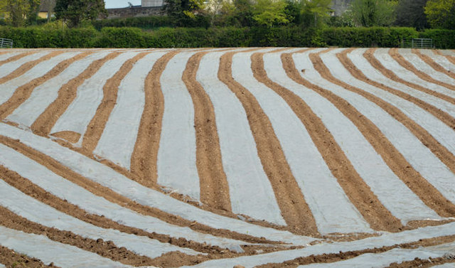
Image: © Albert Bridge Taken: 30 Apr 2014
A crop, sown under plastic sheeting, on the western side of the Carrowreagh Road (just outside the built-up area). This seems to be a growing trend but, as a townie, I haven’t the faintest idea what lies beneath.
Images are licensed for reuse under creativecommons.org/licenses/by-sa/2.0
Image Location
Latitude
54.598526
Longitude
-5.780056