Llwybr Clawdd Offa / Offa's Dyke Path
Introduction
The photograph on this page of Llwybr Clawdd Offa / Offa's Dyke Path by Ian Medcalf as part of the Geograph project.
The Geograph project started in 2005 with the aim of publishing, organising and preserving representative images for every square kilometre of Great Britain, Ireland and the Isle of Man.

There are currently over 7.5m images from over 14,400 individuals and you can help contribute to the project by visiting https://www.geograph.org.uk
Llwybr Clawdd Offa / Offa's Dyke Path
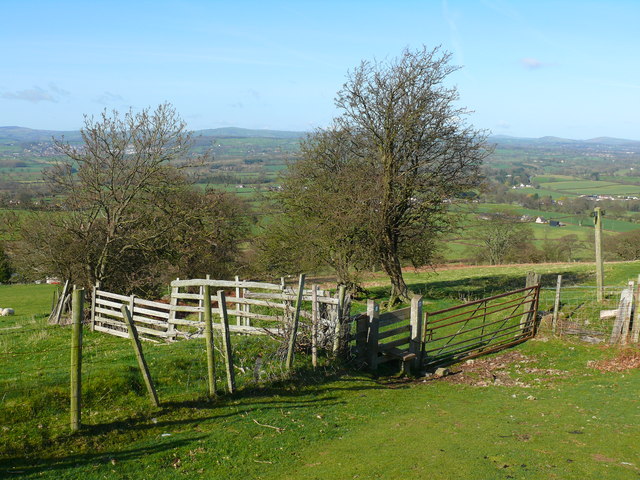
Image: © Ian Medcalf Taken: 8 Apr 2010
Camfa ar Lwybr Clawdd Offa ar Foel y Parc ger Bodfari / Stile on Offa's Dyke Path on Moel y Parc near Bodfari.
Images are licensed for reuse under creativecommons.org/licenses/by-sa/2.0
Image Location
Latitude
53.215514
Longitude
-3.343407