Lane near Stanwick St John
Introduction
The photograph on this page of Lane near Stanwick St John by Oliver Dixon as part of the Geograph project.
The Geograph project started in 2005 with the aim of publishing, organising and preserving representative images for every square kilometre of Great Britain, Ireland and the Isle of Man.

There are currently over 7.5m images from over 14,400 individuals and you can help contribute to the project by visiting https://www.geograph.org.uk
Lane near Stanwick St John
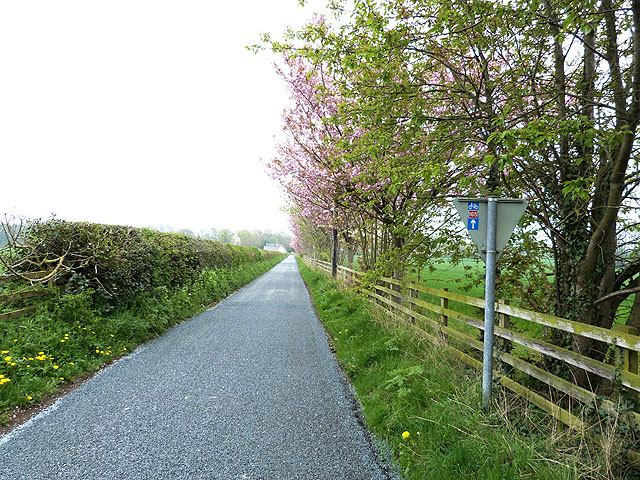
Image: © Oliver Dixon Taken: 29 Apr 2014
Freshly laid chippings. The sticker on the back of the road sign indicates National Cycle Network route 165 which runs between Barnard Castle and Whitby, part of the longer Walney to Whitby route.
Images are licensed for reuse under creativecommons.org/licenses/by-sa/2.0
Image Location
Latitude
54.50531
Longitude
-1.710568