Entrance to Hawkridge Reservoir
Introduction
The photograph on this page of Entrance to Hawkridge Reservoir by Derek Harper as part of the Geograph project.
The Geograph project started in 2005 with the aim of publishing, organising and preserving representative images for every square kilometre of Great Britain, Ireland and the Isle of Man.

There are currently over 7.5m images from over 14,400 individuals and you can help contribute to the project by visiting https://www.geograph.org.uk
Entrance to Hawkridge Reservoir
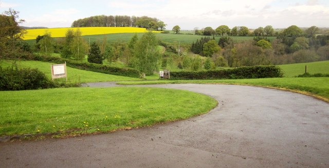
Image: © Derek Harper Taken: 26 Apr 2014
From Lawyer's Hill. "This trout reservoir, situated on the edge of the Quantock Hills, offers depths of up to 70ft" http://www.wessexwater.co.uk/recreation/threecol.aspx?id=538&linkidentifier=id&itemid=538 . No, I know, you can't see it from here, but you can in Image The valley is that of the Peart Water. The distinctive rounded wood across the field of oilseed rape, is the Roundabout, in Image
Images are licensed for reuse under creativecommons.org/licenses/by-sa/2.0
Image Location


Leaflet Map data © OpenStreetMap
Latitude
51.119379
Longitude
-3.12696