Lempitlaw Kirkyard
Introduction
The photograph on this page of Lempitlaw Kirkyard by James Denham as part of the Geograph project.
The Geograph project started in 2005 with the aim of publishing, organising and preserving representative images for every square kilometre of Great Britain, Ireland and the Isle of Man.

There are currently over 7.5m images from over 14,400 individuals and you can help contribute to the project by visiting https://www.geograph.org.uk
Lempitlaw Kirkyard
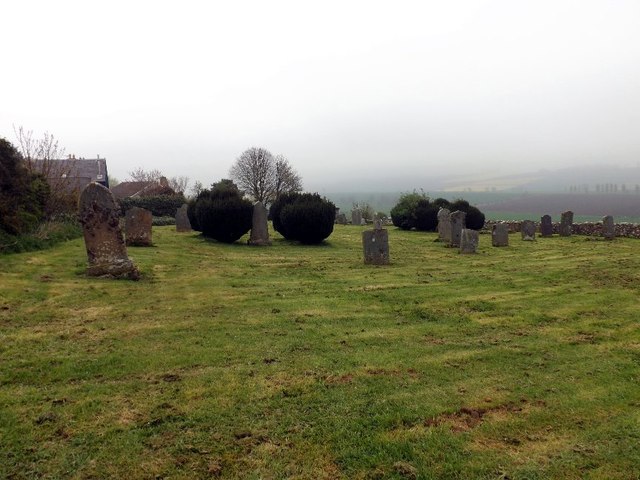
Image: © James Denham Taken: 28 Apr 2014
Which once contained an old church which was sucked in to the parish of Sprouston leaving the old Divine to drift in to history.
Images are licensed for reuse under creativecommons.org/licenses/by-sa/2.0
Image Location


Leaflet Map data © OpenStreetMap
Latitude
55.588102
Longitude
-2.338059