Cambret
Introduction
The photograph on this page of Cambret by Andy Farrington as part of the Geograph project.
The Geograph project started in 2005 with the aim of publishing, organising and preserving representative images for every square kilometre of Great Britain, Ireland and the Isle of Man.

There are currently over 7.5m images from over 14,400 individuals and you can help contribute to the project by visiting https://www.geograph.org.uk
Cambret
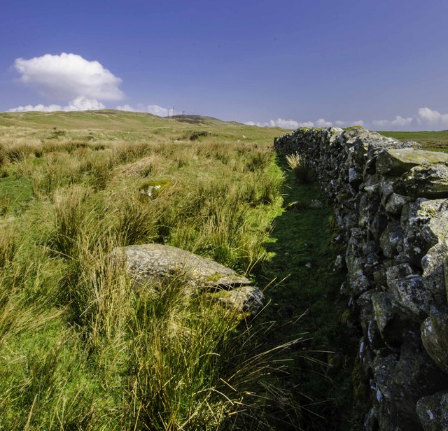
Image: © Andy Farrington Taken: 29 Apr 2014
Following the line of the dyke from Cambret Farm will take you across Cambret Moor to Cambret Hill, where you are likely to get a good signal for your mobile phone and a great picture on BBC1 using the local masts in place for that very purpose.
Images are licensed for reuse under creativecommons.org/licenses/by-sa/2.0
Image Location
Latitude
54.883298
Longitude
-4.315945